Logan River
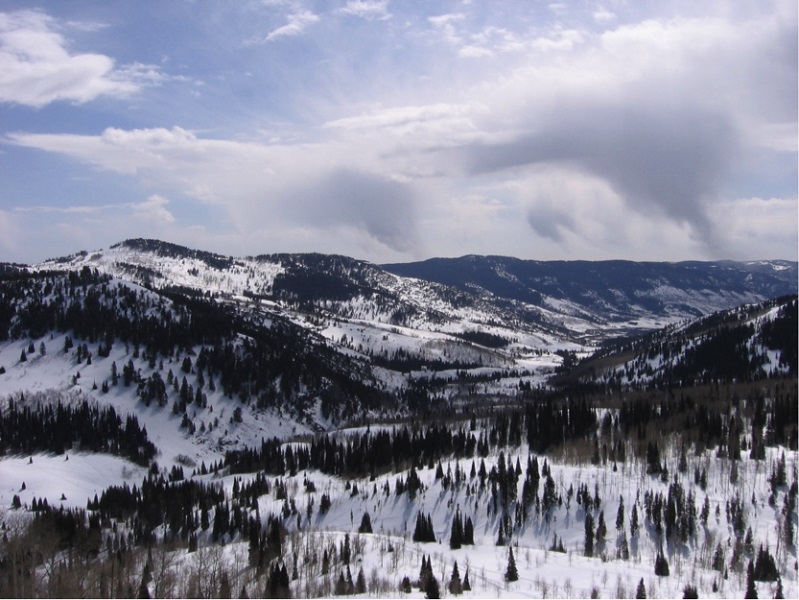
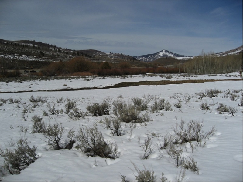
The Logan River watershed is located in the heart of the Bear River range with headwaters near the Utah-Idaho border. The river flows southwest through Logan Canyon - a landscape dominated by formerly glaciated peaks, limestone cliffs, and the occasional sinkhole. The underlying bedrock has numerous caves that create natural springs that contribute to the river’s year-round discharge. Near the canyon’s mouth, the river is dammed in three locations (First, Second, and Third dams) for hydroelectric generation. After exiting the mountains, the river flows west through Cache Valley and is impacted by a mixture of agricultural and urban environments. The Logan River converges with the Little Bear River in central Cache Valley before flowing north to the main stem of the Bear River and Cutler Reservoir.
The data presented here are provisional and subject to revision
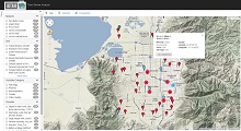
Monitoring Sites: Click on a site code to visualize and download data
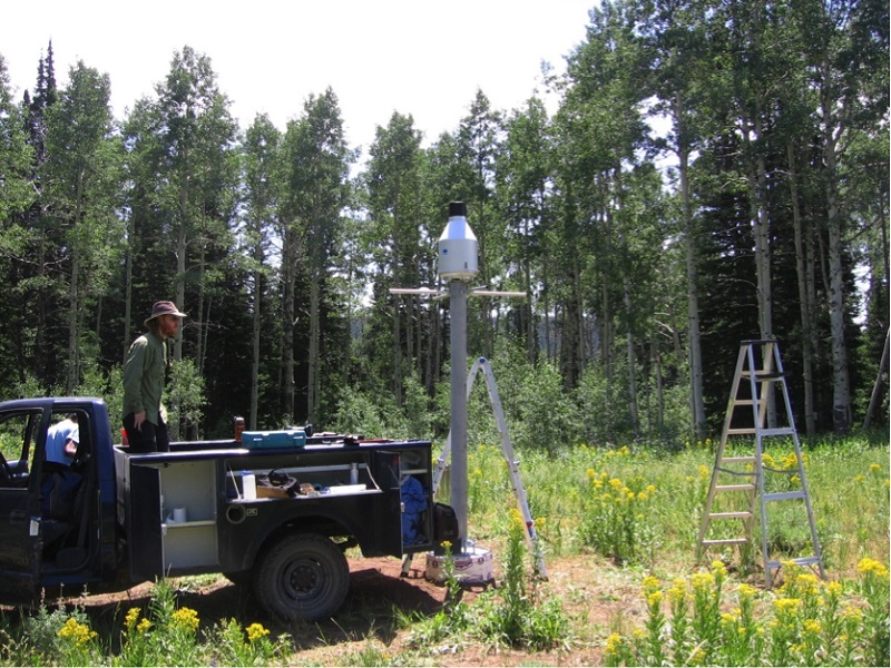
Climate Sites
| Site Code | Site Name | Site Status |
|---|---|---|
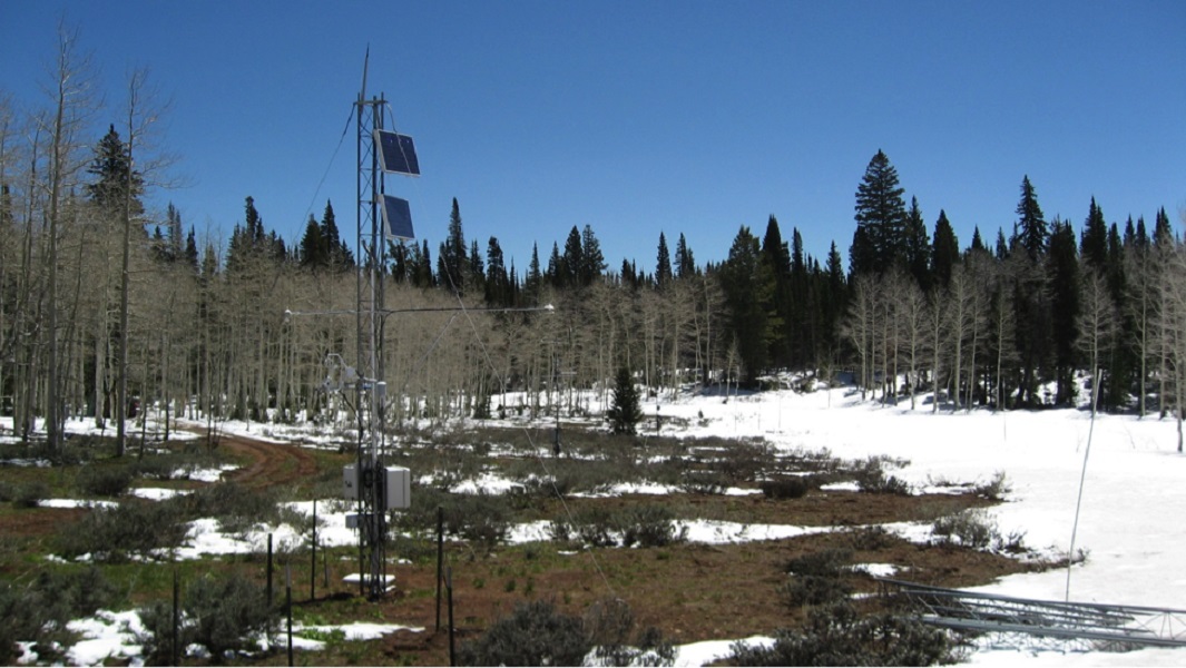
| LR_TWDEF_C | Climate Station at TW Daniels Experimental Forest | Operational |
| LR_Wilkins_R | Wilkins Repeater | Operational |
| LR_FB_C | Climate Station at Franklin Basin | Operational |
| LR_TG_C | Climate Station at Tony Grove | Operational |
| LR_GC_C | Climate Station at Logan River Golf Course | Operational |
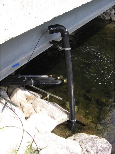
Aquatic Sites
| Site Code | Site Name | Site Status |
|---|---|---|
| LR_FB_BA | Logan River near Franklin Basin | Operational |
| LR_TG_BA | Logan River near Tony Grove | Operational |
| LR_WaterLab_AA | Logan River at the Utah Water Research Laboratory west bridge | Operational |
| LR_MainStreet_BA | Logan River at Main Street (Highway 89/91) Bridge | Operational |
| BSF_CONF_BA | Blacksmith Fork above confluence with Logan River | Operational |
| LR_Mendon_AA | Logan River at Mendon Road (600 South) | Operational |
Storm Drain Sites
| Site Code | Site Name | Site Status |
|---|---|---|
| LR_SC_SD | Spring Creek Storm Drain | Operational |
| LR_RH_SD | River Heights Bridge Storm Drain | Operational |
Visualize Logan River data
Web Services for Logan River