Red Butte Creek
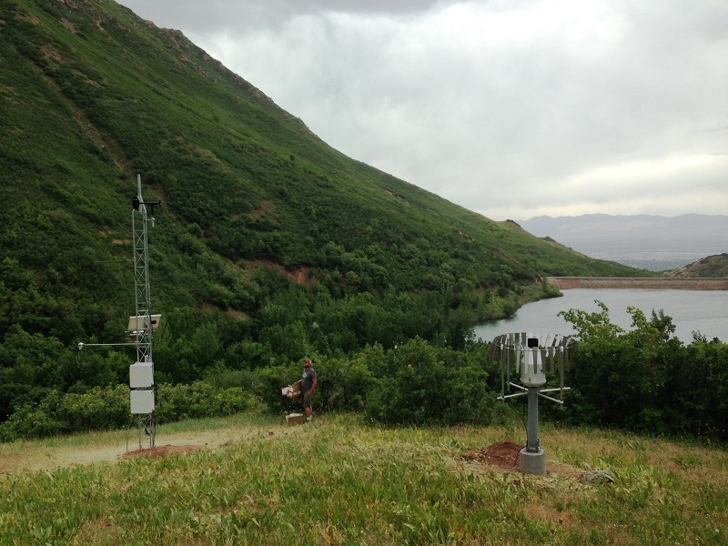
Red Butte Creek watershed is 18.8 km 2 with elevations between 1500 and 2400 m. Average annual streamflow ranges from 0.058 m 3 /s to 0.416 m 3 /s. Red Butte Creek originates in the mountains of northeastern Salt Lake County, and Red Butte Canyon is a Research Natural Area managed by the U.S. Forest Service. Red Butte Reservoir, initially built to supply water to Fort Douglas, is currently used as a habitat for June sucker fish that are transported to other watersheds in the Wasatch Front. After exiting the canyon, the Creek makes a rapid transition to built-out, urbanized land use through the University of Utah campus and into Salt Lake City before discharging to the Jordan River.
The data presented here are provisional and subject to revision
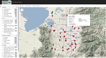
Monitoring Sites: Click on a site code to visualize and download data
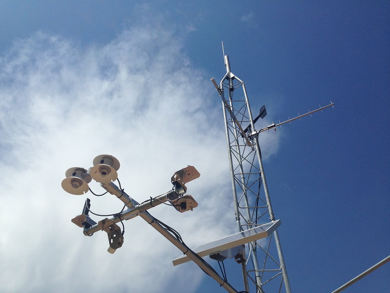
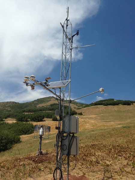
Climate Sites
| Site Code | Site Name | Site Status |
|---|---|---|
| RB_KF_C | Knowlton Fork Climate | Operational |
| RB_TM_C | Todds Meadow Climate | Operational |
| RB_ARBR_C | Above Red Butte Reservoir Climate | Operational |
| RB_GIRF_C | Green Infrastructure Climate | Operational |
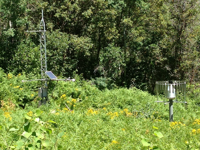
Aquatic Sites
| Site Code | Site Name | Site Status |
|---|---|---|
| RB_KF_BA | Knowlton Fork Basic Aquatic | Retired |
| RB_LKF_A | Lower Knowlton Fork Aquatic | Operational |
| RB_ARBR_AA | Above Red Butte Reservoir Advanced Aquatic | Operational |
| RB_RBG_BA | Red Butte Gate Basic Aquatic | Operational |
| RB_CG_BA | Cottams Grove Basic Aquatic | Operational |
| RB_FD_AA | Foothill Drive Advanced Aquatic | Operational |
| RB_1300E_A | 1300 East Aquatic | Operational |
| RB_900W_BA | 900 W (1300 South) Basic Aquatic | Operational |
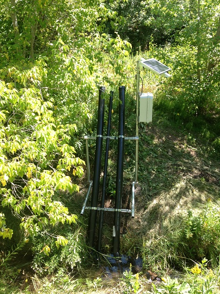
Storm Drain Sites
| Site Code | Site Name | Site Type |
|---|---|---|
| RB_CR_SD | Connor Road Storm Drain | Operational |
| RB_GIRF_SD | GIRF Storm Drain | Operational |
| RB_FortD_SD | Fort Douglas Storm Drain | Operational |
| RB_Dent_SD | Dentistry Building Storm Drain | Operational |
Visualize Red Butte Creek data
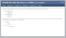
Web Services for Red Butte Creek