Provo River
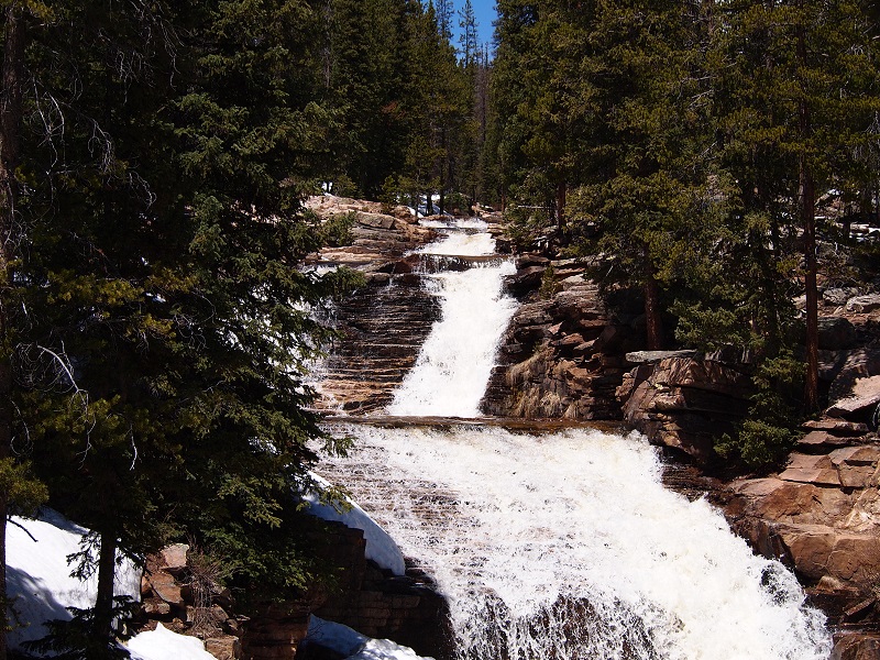
The Provo River Watershed encompasses an area of 1743 km2 with elevations between 1368 and 2993 meters, and average annual stream flow of 6 m3/s. The Provo River originates at Trial Lake in the Uinta Mountains, is retained by Jordanelle Dam and Deer Creek Dam, then flows west through Provo Canyon and the developed cities of Orem and Provo before discharging to Utah Lake.
The iUTAH monitoring sites were initially focused on the Middle Provo River in the Heber Valley between Jordanelle and Deer Creek Reservoirs, which is undergoing a rapid rural to urban transition. This stretch of the river has also been the focus of a recent restoration project to improve diversity of the natural habitat and productivity of the fishery to maintain the Provo River’s Blue Ribbon Fishery status. Currently, the focus of monitoring is shifting to the Lower Provo River and its influence on the geochemistry and hydrology of Utah Lake.
The data presented here are provisional and subject to revision
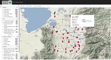
Monitoring Sites: Click on a site code to visualize and download data
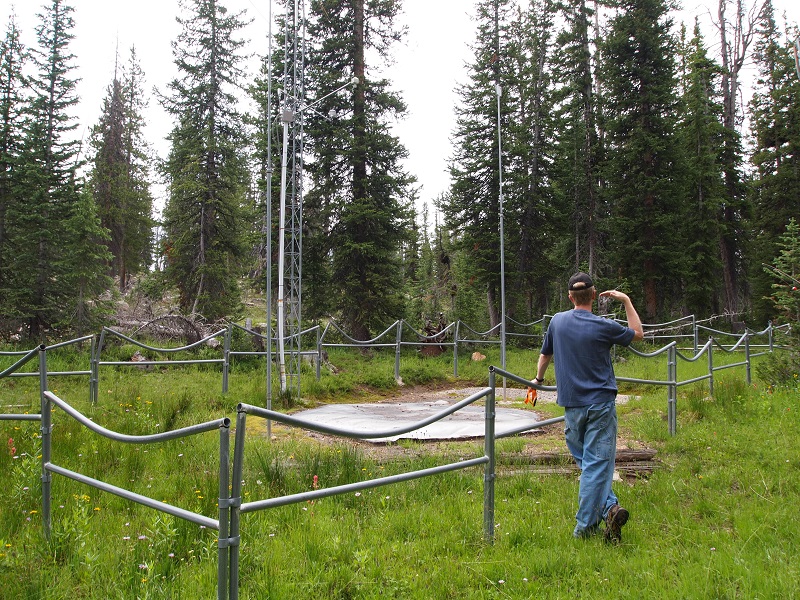
Climate Sites
| Site Code | Site Name | Site Status |
|---|---|---|
| PR_TL_C | Trial Lake Climate | Retired |
| PR_BD_C | Beaver Divide Climate | Retired |
| PR_ST_C | Soapstone Climate | Operational |
| PR_CH_C | Charleston Climate | Operational |
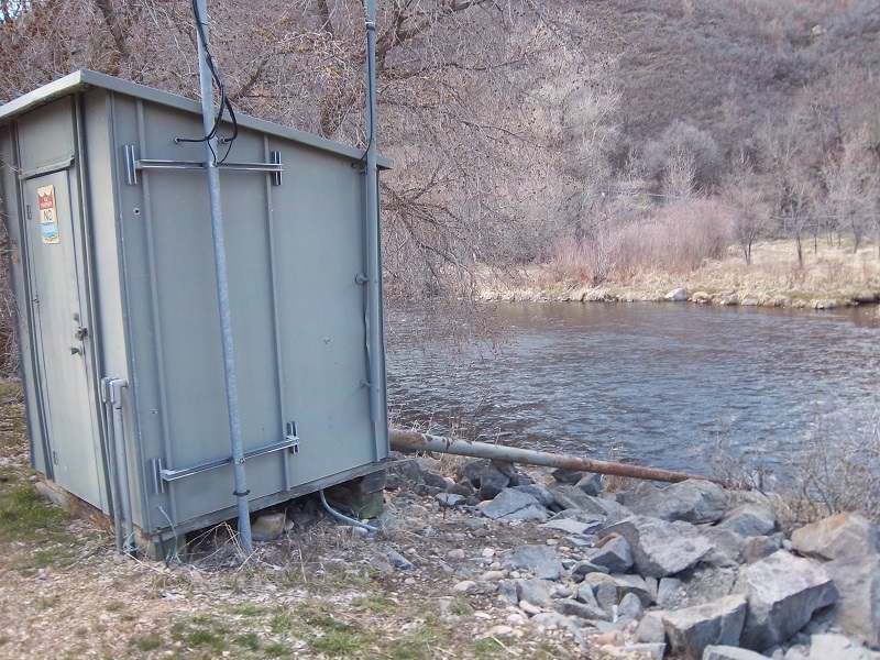
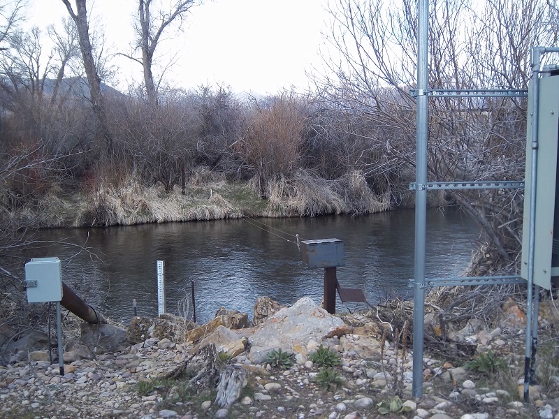
Aquatic Sites
| Site Code | Site Name | Site Status |
|---|---|---|
| PR_ST_BA | Provo River near Soapstone Basic Aquatic | Operational |
| PR_WD_BA | Woodland Basic Aquatic | Operational |
| PR_BJ_AA | Provo River Below Jordanelle Reservoir Advanced Aquatic | Retired |
| PR_LM_BA | Provo River at Lower Midway | Retired |
| PR_CH_AA | Provo River at Charleston Advanced Aquatic | Retired |
| PR_RW_A | Provo River at Riverwoods Aquatic | Operational |
| PR_HD_AA | Harbor Drive Advanced Aquatic | Operational |
Canal Sites
| Site Code | Site Name | Site Status |
|---|---|---|
| PR_Flood_canal | Flood Canal | Retired |
| PR_SageCreek_canal | Sage Creek Canal | Retired |
Visualize Provo River data
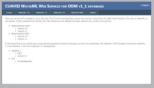
Web Services for Provo River